Frequently Asked Questions
- Within 30 feet of a stop sign
- Within 20 feet of a crosswalk (marked or unmarked)
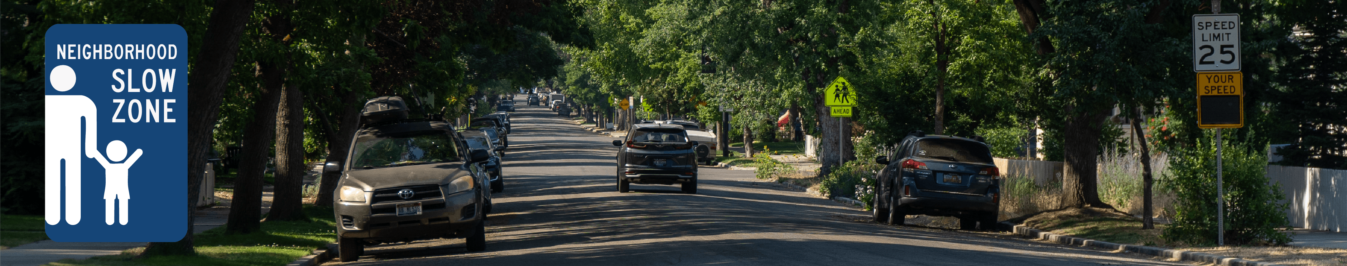
What is the North End Neighborhood Slow Zone Pilot?
The North End Neighborhood Slow Zone Pilot is a safety initiative by the Ada County Highway District (ACHD) in partnership with the City of Boise that focuses on improving safety on neighborhood streets in Boise’s historic North End. The pilot will lower posted speed limits on select streets. The pilot will also be accompanied by increased enforcement for speeding and parking near crosswalks, as well as education and outreach efforts.
When will the Slow Zone Pilot take effect?
The speed limit changes are scheduled to be implemented between December 22nd and January 5th.
Where will the speed limit be reduced?
Posted speed limits will be lowered to 20 mph on select streets, including 8th Street, 9th Street, 13th Street, 15th Street, 16th Street, Fort Street, Hays Street, and Harrison Boulevard.
How long will the pilot run?
ACHD and the City of Boise will monitor the impact of the pilot over a three-month period and then evaluate if additional traffic calming should also be considered.
Will there be police enforcement?
Yes. Boise Police officers and Boise City Code Enforcement officers will support the pilot with targeted enforcement and education efforts to help people understand and follow the new speed limits, parking laws and safety expectations.
What existing laws will police enforce as part of the pilot?
Boise Police officers will be increasing enforcement of updated and existing speed limits.
Additionally, Enhanced parking enforcement is underway in the North End to improve visibility and safety at intersections and crosswalks.
Idaho law prohibits parking:
Parking in these areas can block sight lines for drivers, people walking, and people biking. Vehicles parked in restricted areas may receive citations.
What is considered a crosswalk?
A crosswalk is a designated area for pedestrians to cross a roadway, either marked (with painted lines or signs) or unmarked.
Idaho Code defines the intersection of any two public roadways as an unmarked crosswalk. By law, a pedestrian has the right-of-way unless the crossing is controlled by a pedestrian signal. Most legal crosswalks in Ada County are unmarked.
A marked crosswalk is used to identify preferred pedestrian crossing locations and is marked in white paint or thermoplastic material. Marked crosswalks are at least six feet wide, with additional width at locations with high pedestrian demand.
Generally, vehicles must yield to pedestrians waiting at an intersection without a traffic or pedestrian signal, unless the location is not a legal crosswalk.
How does ACHD decide where to install marked crosswalks?
The ACHD crosswalk installation guidelines are largely based on a comprehensive research study that examined 2,000 marked and unmarked crosswalk locations in cities across the United States. The number of travel lanes to cross, the speed of the roadway, amount of vehicular traffic, and pedestrian demand are all factors that need to be considered prior to installing a marked crosswalk.
Most marked crosswalks in Ada County are either at a traffic signal, an enhanced crossing (Pedestrian Hybrid Beacon or Rectangular Rapid Flashing Beacon), or school walk routes.